West Side Placer
A monazite heavy-mineral-sand placer in the Green River Basin — shallow, surface-mineable, and permitted. The rare-earth endowment here has been on the record since 1906.
The deposit
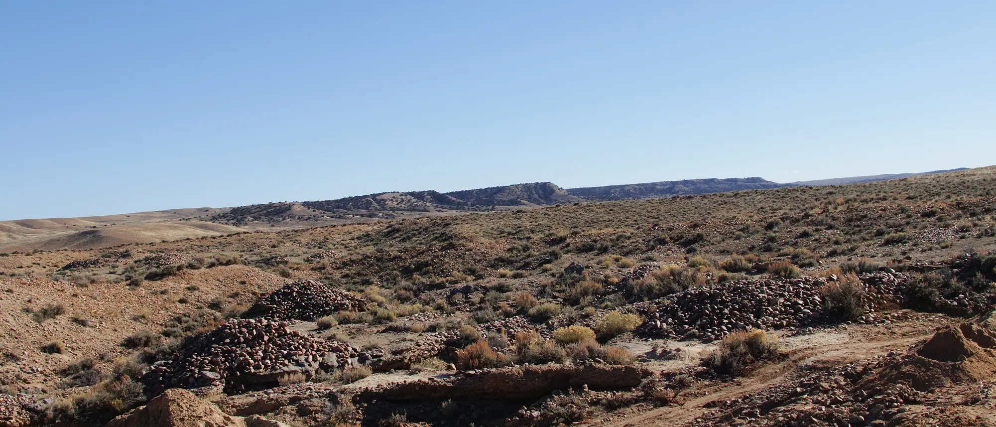
Terrace gravels on the Colorado–Wyoming line, carrying a heavy-mineral fraction in which monazite is the economic carrier.
The host is a Pliocene–Pleistocene braided-stream and outwash terrace sequence in the Green River Basin. The heavy minerals were shed from Archean and Paleoproterozoic crystalline rocks of the ranges to the east and concentrated by stream and shoreline processes.
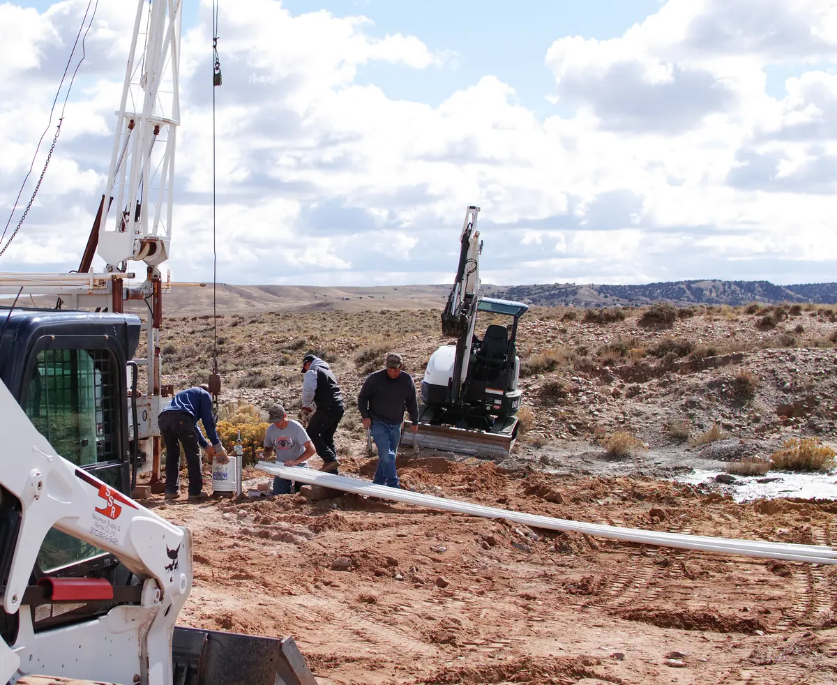
Overburden runs 8–12 inches. The ore is unconsolidated sand and gravel — excavator-accessible, no blasting, no underground development, with reclamation running concurrent with mining.
Provenance has never been formally studied. Determining the source terrane — most likely by detrital zircon geochronology — is identified work, not a settled result. We describe it as a working model.
Mineralogy
Monazite is not abundant in the ground. It is abundant after concentration — and that distinction is the whole engineering problem.
Automated mineralogy on whole ore returns 0.18% monazite. Gravity separation rejects the barren silicate mass and lifts that to roughly 35% in a table concentrate. Magnetic and further physical separation reaches a monazite mineral concentrate.
Monazite in the concentrate is coarse for the mineral — d₅₀ ≈ 209 µm, about 70 mesh — which is favourable for gravity and magnetic routes.
In whole ore, monazite's mean grain intercept is finer, near 27 µm. Test work to date deslimed at 25 µm and did not assay the slimes fraction. Whether an ultrafine monazite population is being lost there is an open question we intend to close.
Bars are linear in TREO mass %, all stages on one basis. The run-of-mine range is real and unresolved: direct assays (ACT Labs) return 712–1,465 ppm, while heavy-liquid back-calculation returns ~100 ppm. Those two routes differ by roughly ten times and the gap is not yet closed — see the note opposite. Sand-stage figures are corroborated across four laboratories, including an independent 106-interval drill survey.
Concentration
Roughly 3% of rare-earth oxide lost to the magnetic fraction.
A commercial U.S. processor doubled the grade of this material and kept almost all of the rare earths.
Energy Fuels ran West Side Placer concentrate at bench scale and demonstrated a magnetic upgrade from 20.763% to 41.647% TREO while retaining at least 97% of contained rare-earth oxide. Their White Mesa Mill — roughly 350 miles from this ground, and the only facility in the United States licensed to accept monazite feedstock — is the natural destination for what this deposit makes.
Stated plainly: the same programme found the material was not amenable to direct leaching as received. Reaching useful leach recoveries required magnetic removal and a fine grind. The constraint is liberation, not chemistry — and it is bench-scale work. No pilot or continuous data exists yet. Pilot demonstration is the next step, not a completed one.
Test work performed by Energy Fuels, Hazen Research, ACT Labs, SGS, Chemours/Delta and the University of Wyoming. These are contracted service providers; their work is cited as measurement, not endorsement.
The basket
22.6% of the rare-earth oxide here is neodymium and praseodymium — the two that magnets are made of.
The NdPr share is corroborated independently across three laboratories, landing in a 20.5–22.5% band. It is one of the more firmly established numbers in the project.
NdPr is the fraction of the rare-earth basket that carries most of the demand growth — permanent magnets for motors, generators and actuators. A monazite basket weighted toward it is worth more per tonne of oxide than the distribution alone suggests.
| Neodymium | 17.56% |
| Praseodymium | 5.00% |
| Nd + Pr | 22.56% |
The full lanthanide distribution, and the certificates behind it, are available to counterparties on request. Yttrium and heavy rare earths are present, but their carrier mineral is unresolved — the observed xenotime is insufficient to account for the yttrium signal. We flag that rather than build on it.
Position
Permitting is the long pole in U.S. hardrock mining. Greenfield projects routinely spend seven to ten years there. This ground has been permitted and mined.
- Mapped deposit extentNot a land holding. Geological extent only — shown for context.
- State exploration permitEP-113980 · renewal status under confirmation
- State Land Board leaseLease 110324 · 80.91 ac · held to 12 May 2031
- DRMS mining permitM-2016-081 · conversion to 112 approved 30 Sep 2025
Geometry from project GIS (WGS84), rendered to scale with longitude corrected for convergence at 41° N. Indicative only — not a survey document. Instruments shown are distinct and non-additive: the lease, the exploration permit and the mining permit are separate grants over overlapping ground.
Colorado DRMS. Permitted and operated as a limited-impact hardrock operation since 2017. On 30 September 2025 the Division approved conversion to a 112 operation, taking permitted area to 80 acres. The conversion becomes final upon posting of the increased reclamation warranty.
Colorado State Land Board mining lease over 80.91 acres in Section 24, T12N R94W, Moffat County. Extended by rider and held through 12 May 2031. Rare earth minerals are within the demised minerals.
A financial warranty is held against the permit, and 2.7 acres have already been reclaimed. Reclamation runs concurrent with mining rather than deferred to closure.
On the record since 1906
“Two concentrates from Timber Lake were remarkably rich in monazite.”
Placer gold was discovered in the Craig–Baggs district in 1892. Within a few years several thousand miners had worked the region, a 36-mile canal was built to bring water to the ground, and by 1902 a bucket dredge was operating on Timberlake Creek.
They were chasing gold. The federal assays that survive from that period record something else entirely: concentrates carrying hundreds of pounds of monazite per ton. For most of a century that was a curiosity in a report.
The district has produced. This particular ground has no recorded historical production — the documented workings on it are our own, from 2015 onward.
Where this stands
West Side Placer is an exploration-stage project. Tonnage figures that have circulated for this ground derive from acreage and assumed depth, not from drilling — so we do not publish them. Defining a resource to a recognised code is the first item of work, not a completed one.
Technical enquiries
welcome.
Detailed mineralogy, laboratory certificates, permit documents and the metallurgical record are available to counterparties under confidentiality. We would rather be read carefully than read quickly.